Gordon - Durrenberger
families from Galloway, Scotland and Allgäu, Germany
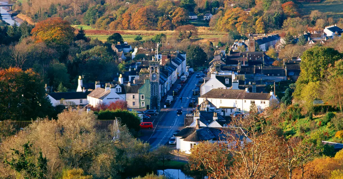
Kirkmabreck Parish, Kirkcudbrightshire, Scotland, United Kingdom
54.8755374,-4.3692982 G
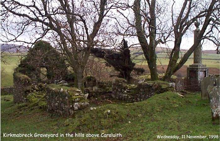
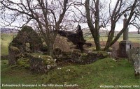
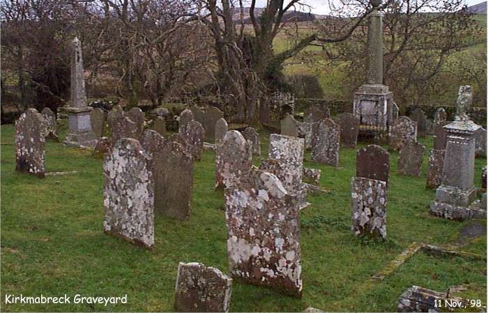
Old Kirkmabreck Parish Graveyard, Kirkcudbrightshire, Scotland
Map to the remains of the Old Kirkmabreck Parish church and cemetery

Claughread, Kirkmabreck Parish, Scotland
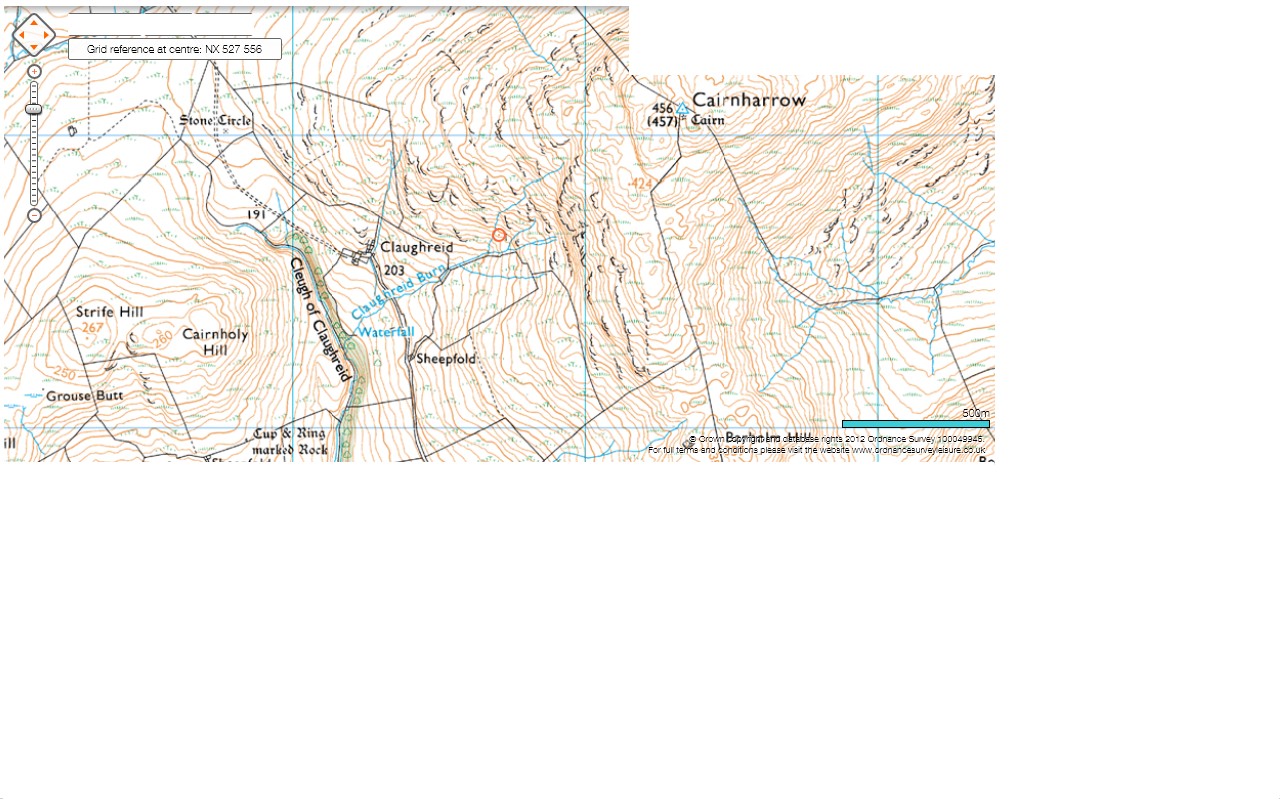
Map of Claughread, Kirkmabreck Parish, Scotland
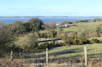
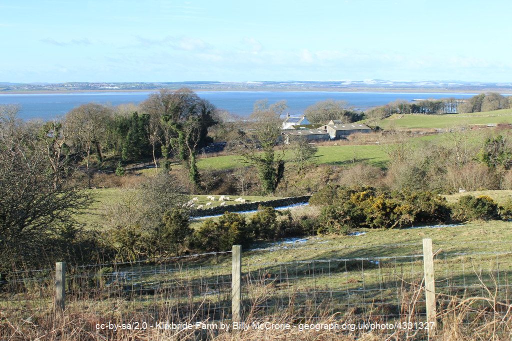
View of Kirkbride Farm from Bar Hill, Carsluith
- Wigtown Bay in the background and Wigtown beyond
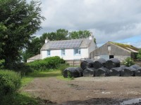
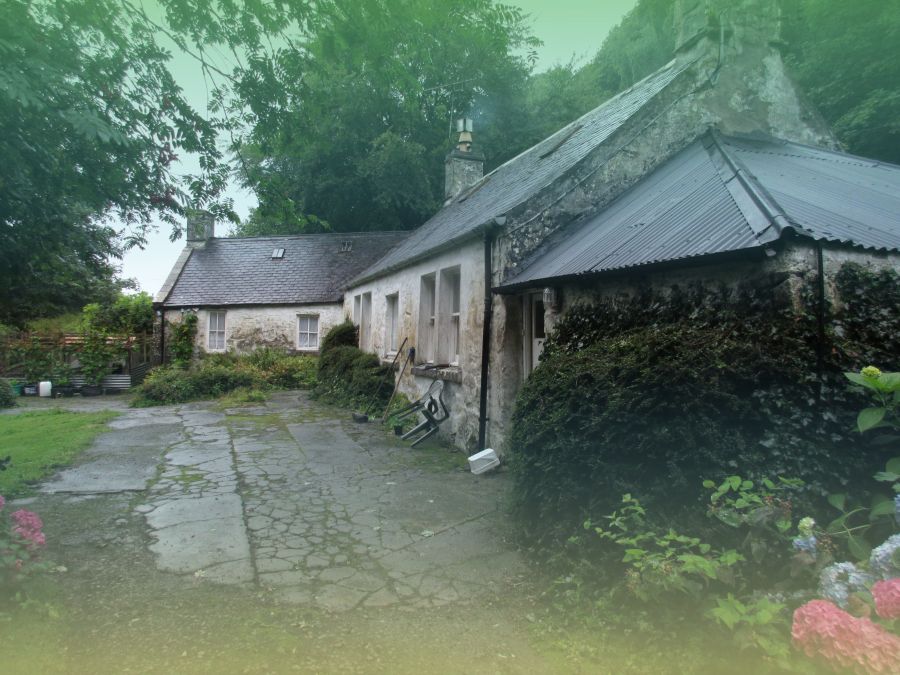
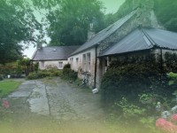
Kirkbride Farmhouse, near Carsluith, Kirkmabreck Parish, Scotland
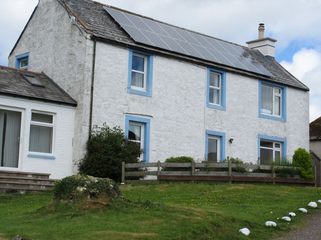

Kirkbride Farmhouse, near Carsluith, Kirkmabreck Parish, Scotland


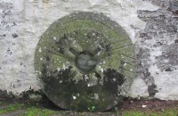
Graddoch Mill stone - 1827
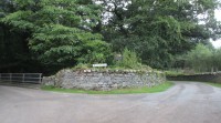
Cuil Farm sign with Graddoch Bridge on the left
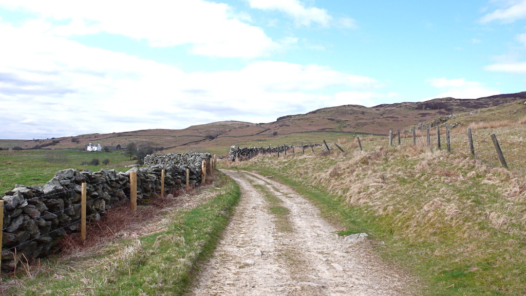
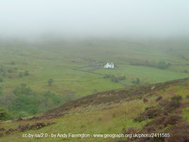
East Slopes of Cairnholy - Claughreid
, view across from the eastern facing slopes of Cairnholy Hill. The farm at the center of the picture is Claughreid with the lower slopes of Cairnharrow beyond.
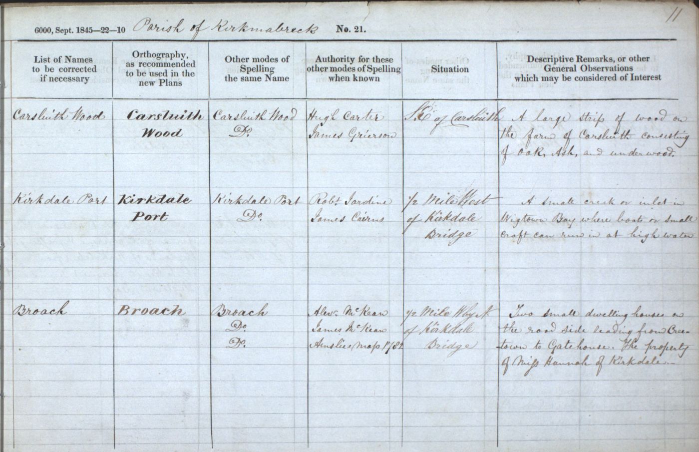
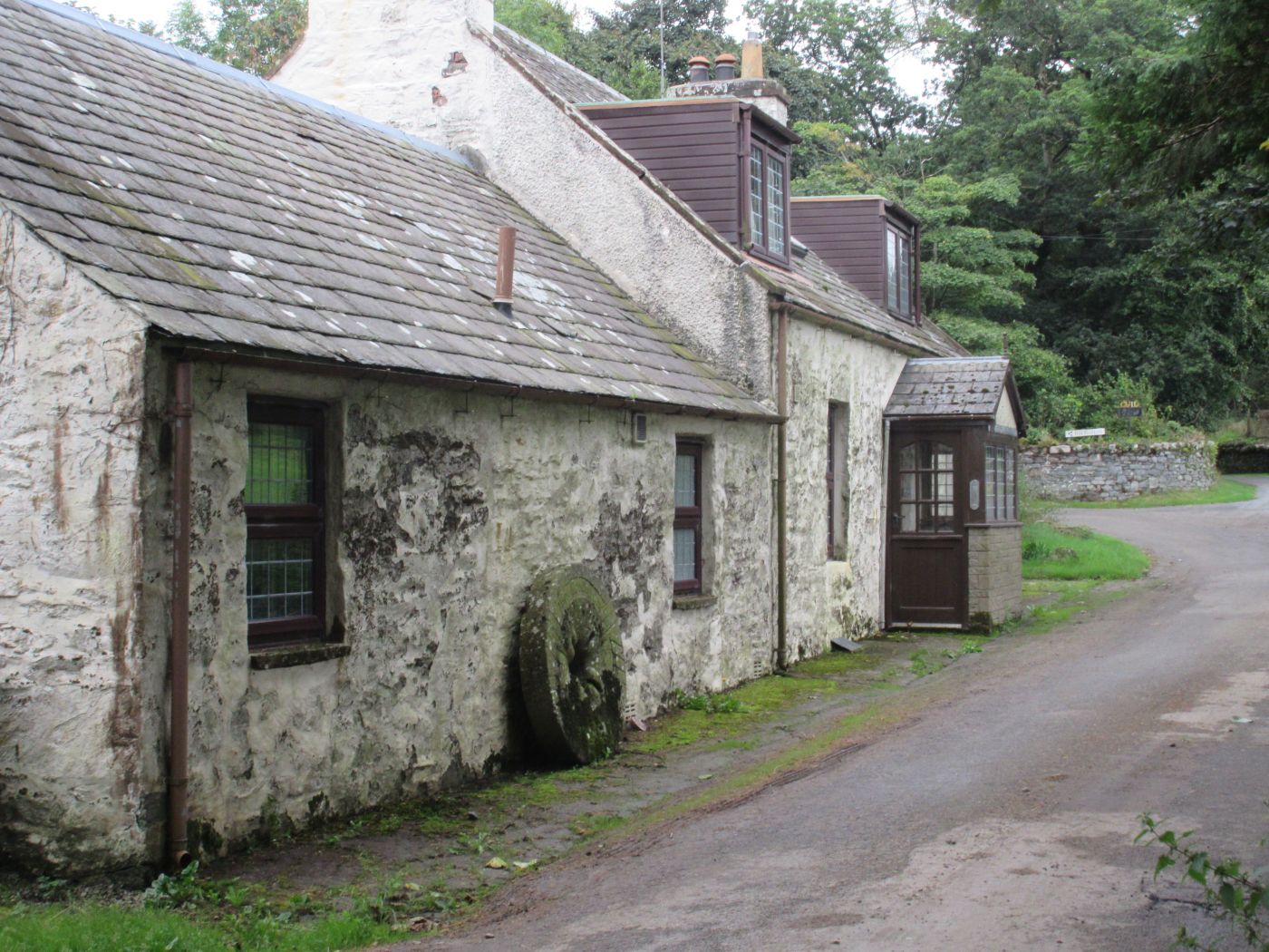
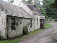
Broach, near Creetown

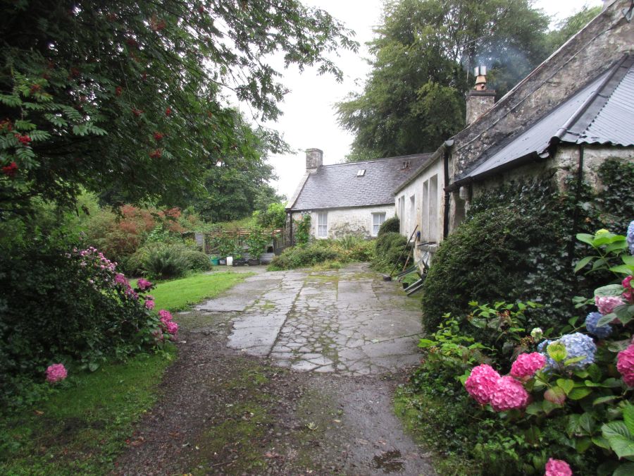
Broach Garden, near Creetown
Broach Garden, near Creetown
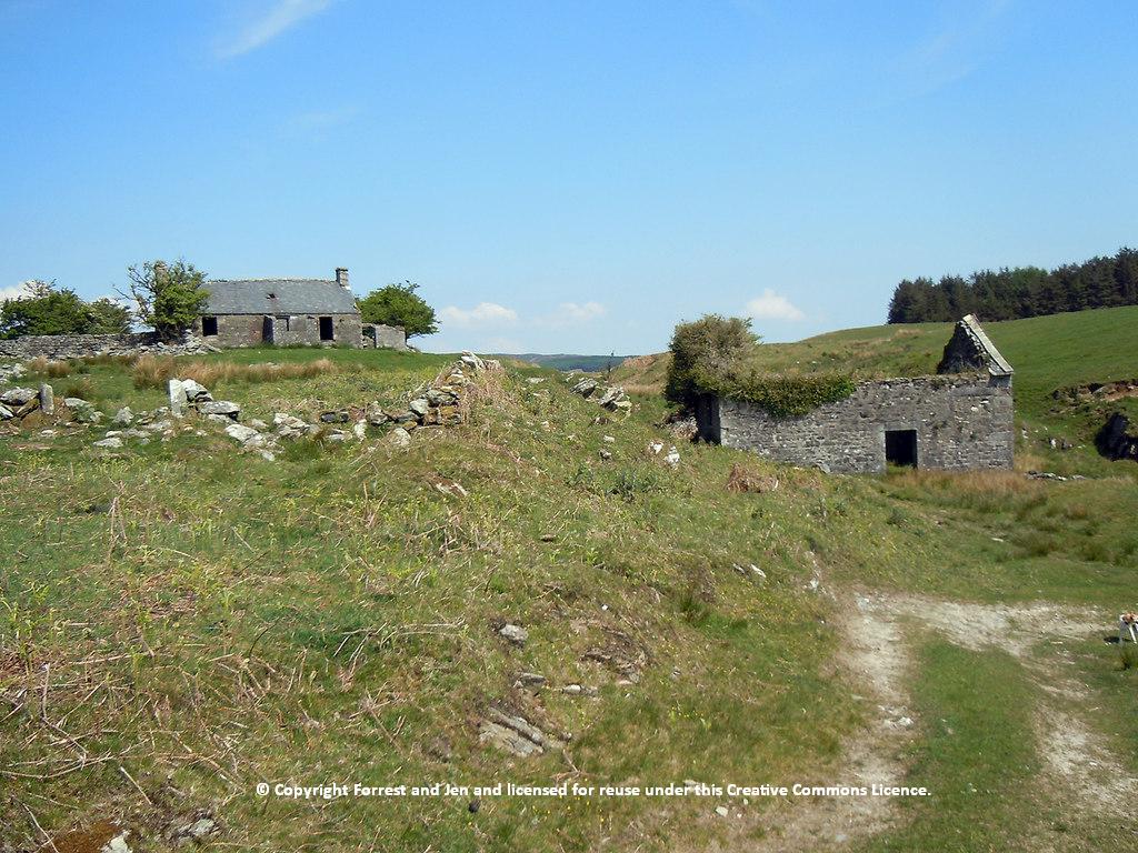
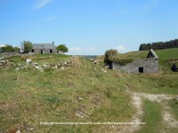
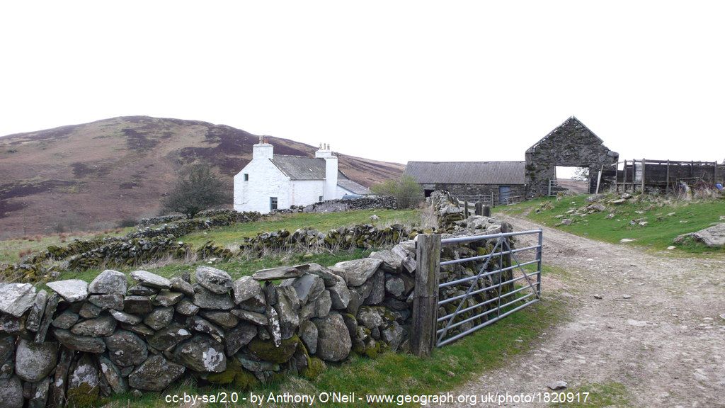
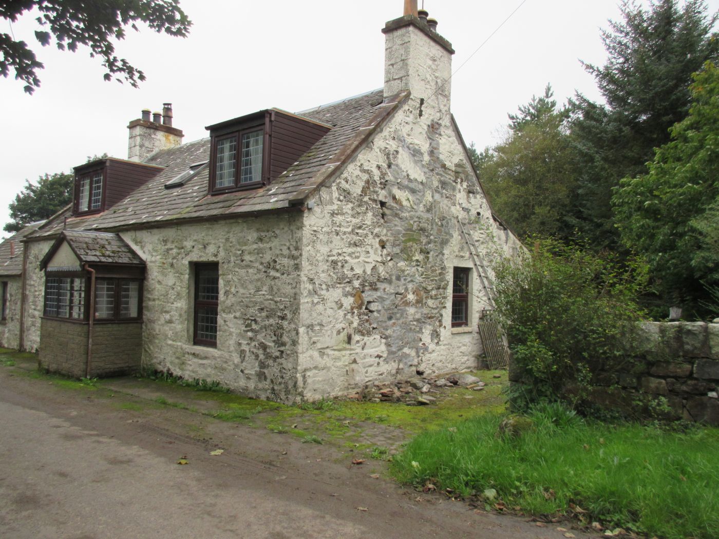
Blairs - ruins of the living quarters
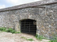
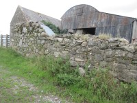
Blairs - front of the farm's barn
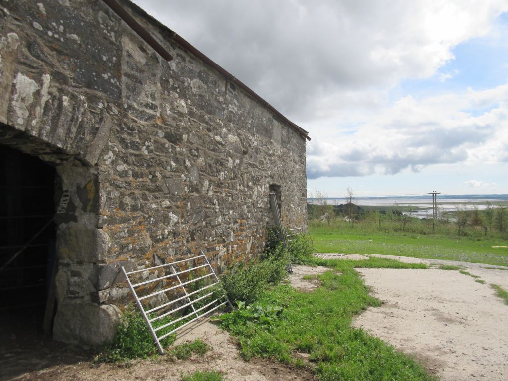

Blairs - view of Solway from the barn
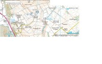
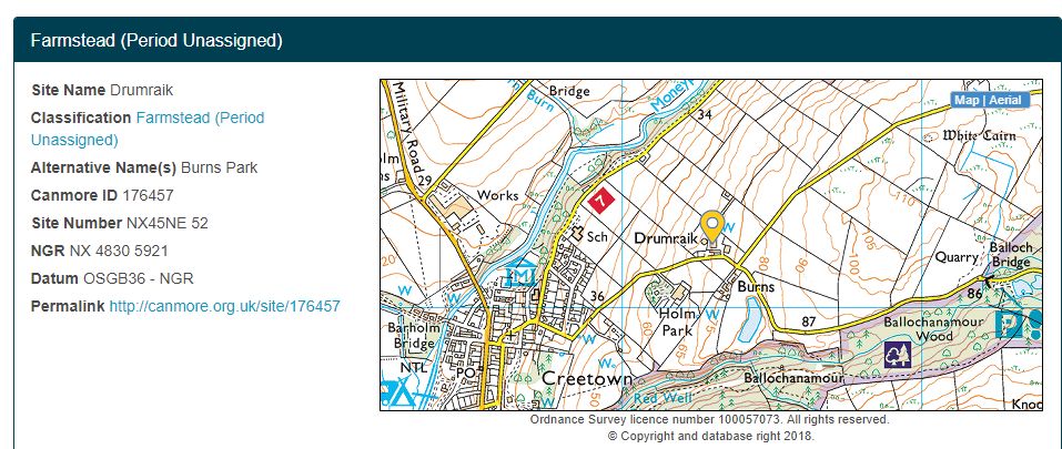
Map showing the location of Burns park, now called Drumraik, near Creetown, Scotland